Sports
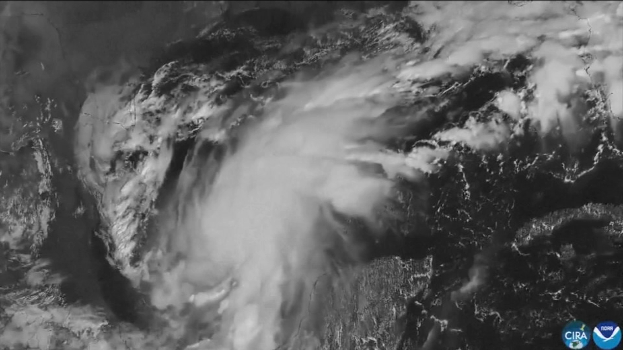
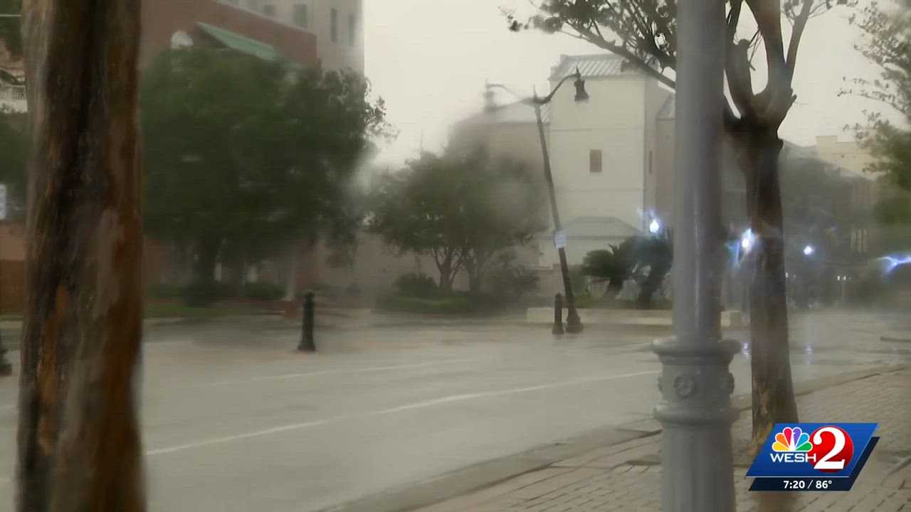
Hurricane Isaias: Storm makes landfall along the US Gulf Coast as a dangerous Category 2 hurricane
By Marcus Chen
ABC 7 Bay Area
Advertisement
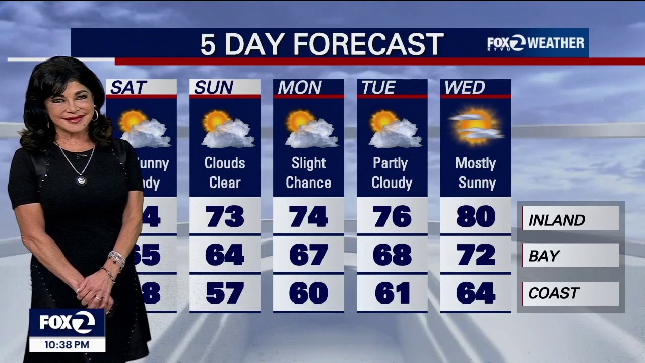
The heatwave is over and now, an unseasonably cold, windy autumn storm is sweeping in from the Pacific Northwest. Beach Hazards Statement: 7:00 AM Saturday morning until Monday evening across all Pacific Coast beaches. Dangerous waves up to 16 feet, generating a risk of sneaker waves and rip currents. Stay off coastal rocks, jetties and beach sand. Never turn your back on the ocean. Coastal Flood Advisory: 3:00 PM Tuesday. High tides will flood low lying shoreline roads, paths and parking lots along the San Francisco, San Pablo, and Monterey Bays during high tide windows. With Fleet Week, people heading to the City, there will be ponding on roads. DONT drive through flooded roadways! Saturday: Temperatures will collapse to 5 to 15 degrees below seasonal October averages. Pacific Coast: 56°F to 62°F. A raw, cold day with thick low clouds and patches of coastal drizzle. Bayshore: 63°F to 69°F. Clouds clear to partial sunshine by midday, but conditions turn windy. Inland: 70°F to 76°F
By Marcus Chen
ABC 7 Bay Area

By Marcus Chen
KTVU FOX 2 Bay Area

By Marcus Chen
KTVU FOX 2 Bay Area
By Katherine Langford
WESH 2 Orlando